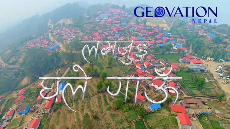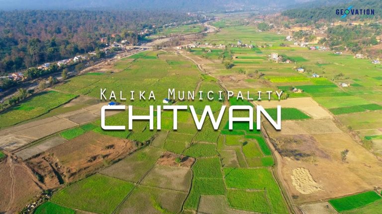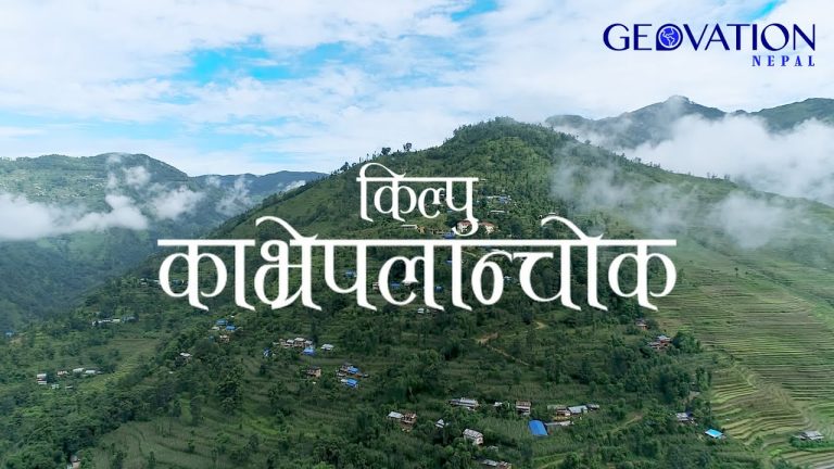


A Geospatial Innovation Hub that provides surveying and mapping services
in an efficient and professional manner putting the client as its first priority.
Geovation is known to be reliable, delivers projects on time and within an agreed budget, and adheres to the highest ethical industry standards.


Geovation is known to be reliable, delivers projects on time and within an agreed budget, and adheres to the highest ethical industry standards.
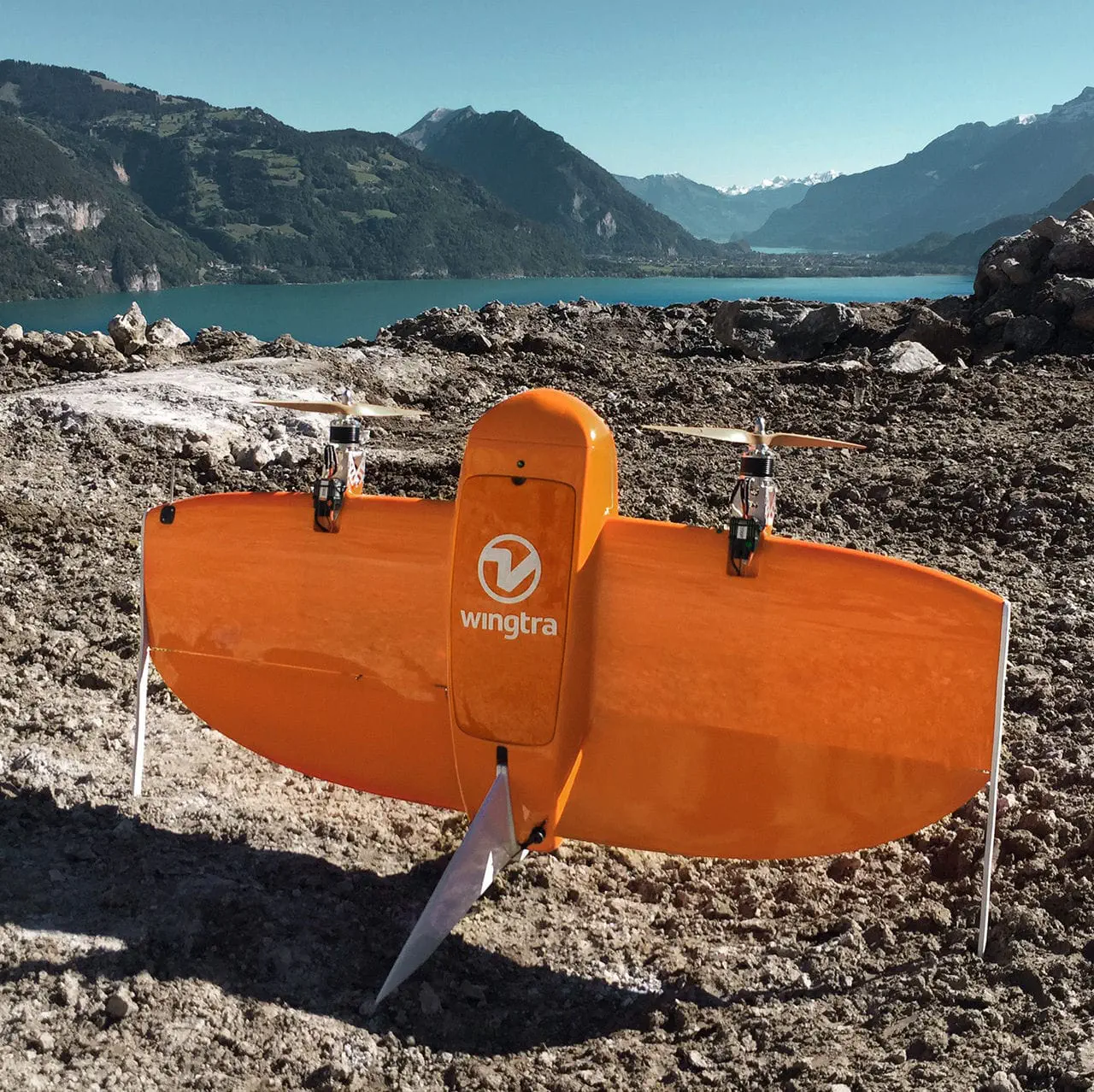
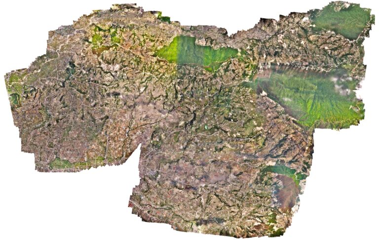
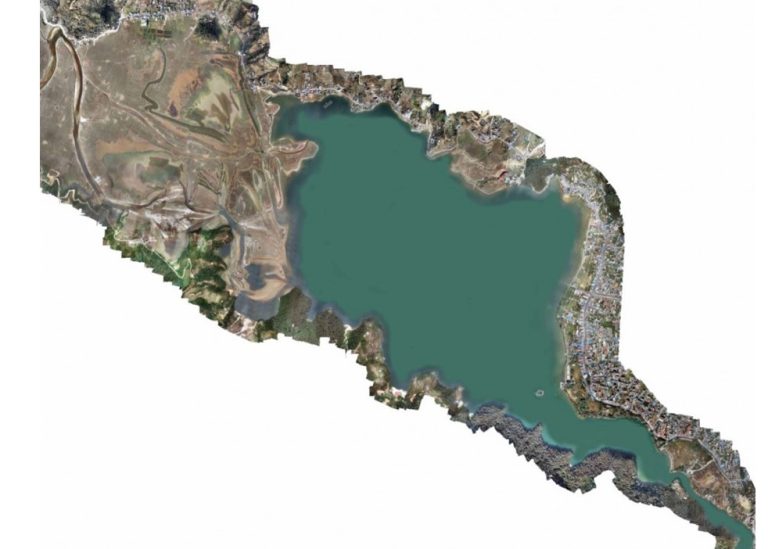
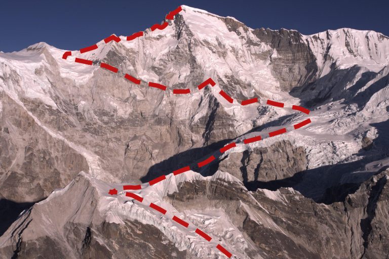
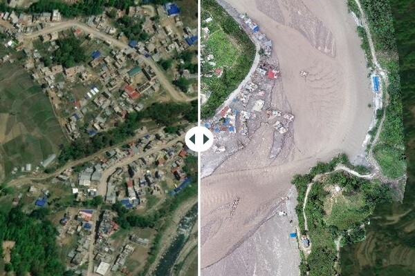
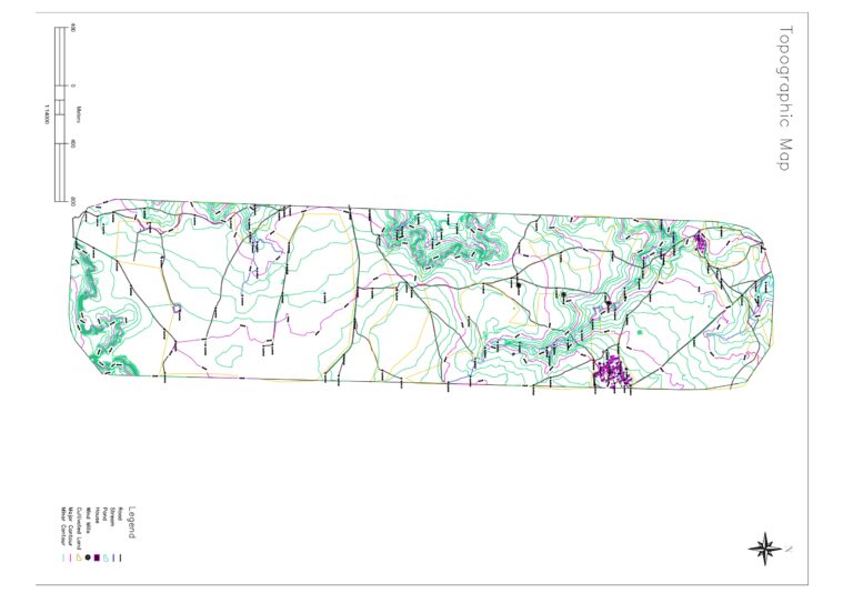
Geovation Nepal is a surveying and geospatial mapping consulting company that focuses on the use of cutting-edge technology to capture precise location datasets for a wide range of activities.
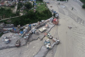

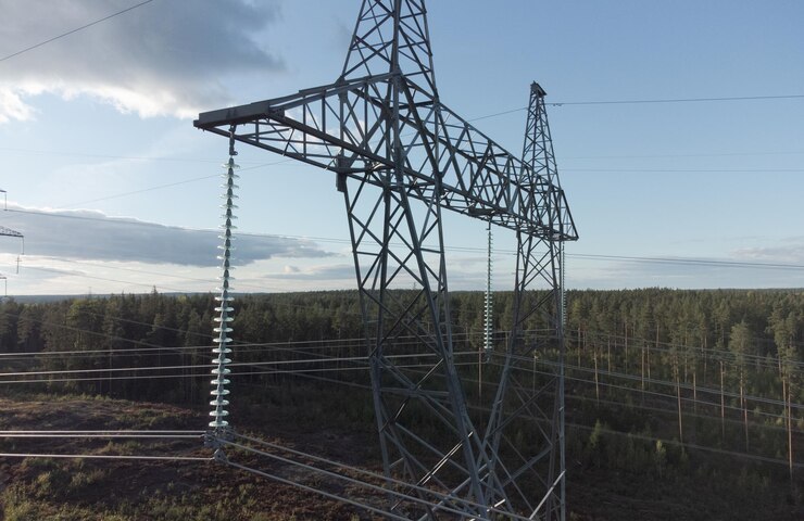
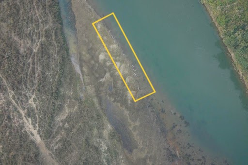

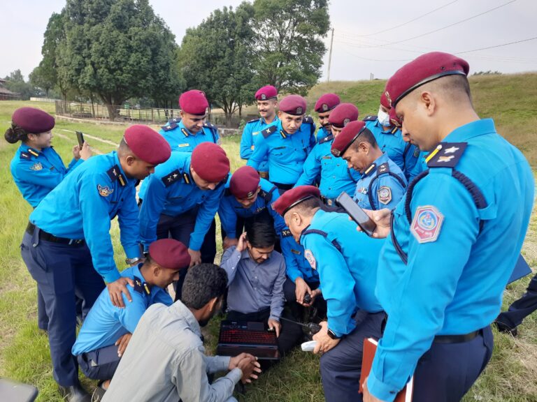
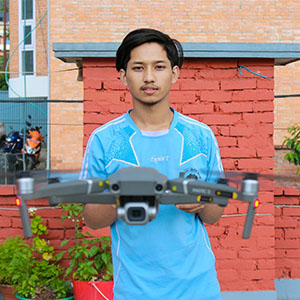
Geovation consists of a well-experienced team of drone pilots and a professional management team. The team has required technical expertise, equipment, and technology to deliver the best solutions to its clients.


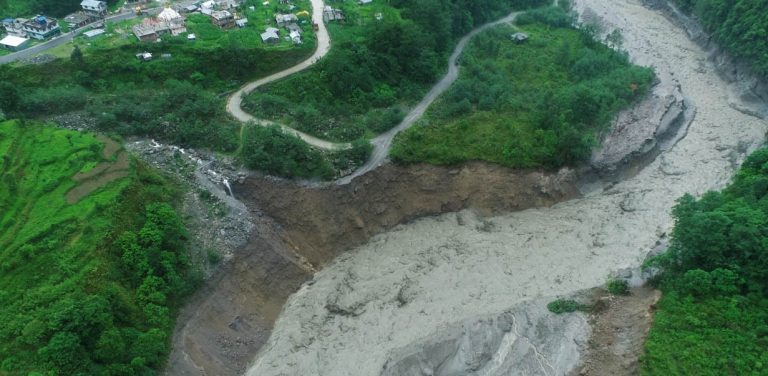
Do you want to see more interesting things we do with drone technology? Follow us on the following social media platforms - Facebook, Instagram, Linkedin, Youtube and Tiktok